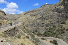
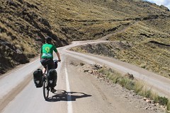
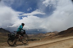
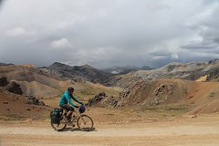
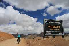
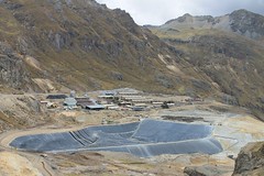
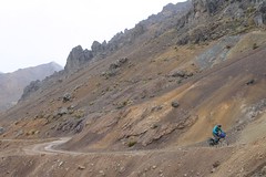
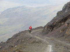
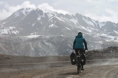
The area around Huayraccasa is mining country, so expect to see some trucks and 4x4s as you continue over Punta Caudalosa Chica, and over two more passes either side of Mina Esperanza, before descending to Licapa.
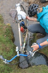
Bring all supplies from Huancavelica as there are no shops until Ccollpapata, just before Licapa. Water is not a problem to find however.
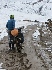
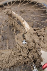
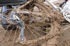
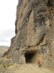
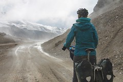
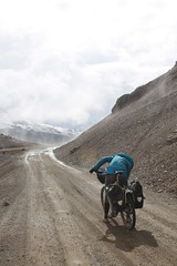
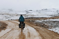
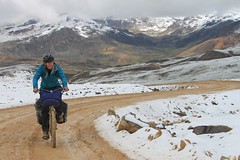
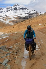
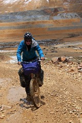
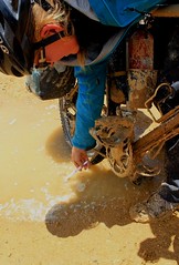
The unpaved sections of this route can become so muddy as to be impassable after rain, so it’s unlikely you’ll be able to go this way between October and April. If it’s not possible to get over Punta Caudalosa Chica, try descending from Abra Huayraccasa to Huachocolpa, then climbing up past Recuperada and on to Mina Esperanza.
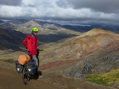
Another good alternative if you like high passes is to climb from Huancavelica, over Abra Chonta, Abra Huayraccasa and Punta Caudalosa Chica, then leave the route described here soon after by heading west, over Punta Yahuarcocha, before descending to the paving and Santa Ines.
As usual it Peru, it pays to go light. Here’s a packing list of the 15kg of kit we each took for the ride, and here’s the blog post on Pikes on Bikes about our (muddy) October ride.


| Distance (km) | Altitude (m) | Description |
|---|---|---|
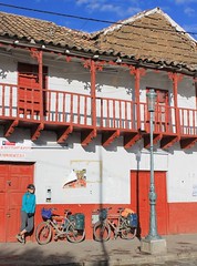
| 0 | 3700 | Huancavelica Plaza de Armas. (La Portada is a good place to stay.) Take road towards Abra Chonta and Santa Ines. |
| 35.2 | 4510 | Astobamba. Small village no facilities. |
| 45 | 4610 | Pucapampa. Small village, no facilities. Easy climb to pass, all paved. |
| 54 | 4880 | Abra Chonta. Go L onto dirt road. |
| 57.5 | 4980 | Abra Huayraccasa. |
| 60.6 | 4890 | R/down on shortcut. (Super steep, so consider taking the long, very gentle truck route round. It’s 5.5km longer.) |
| 61.9 | 4710 | R on main truck road again. |
| 65.1 | 4620 | R onto small road, leaving main Huayraccasa to Mina Caudalosa Chica road. |
| 65.9 | 4690 | L. |
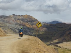
| 71.3 | 4990 | Punta Caudalosa Chica. |
| 72.5 | 4910 | Jn. Go L for Licapa. (Punta Yahuarcocha is 1.1km R – it’s possible to cross this pass, then descend to Santa Ines). |
| 82.1 | 4350 | Jn. Go R for Licapa, L for Recuperada. |
| 92 | 4780 | Paso Esperanza. |
| 95.1 | 4530 | R, by Mina Esperanza. |
| 100 | 4740 | R on non-mine road. |
| 100.3 | 4750 | Paso Carhuapata. High point on Lircay-Licapa road. |
| 115.5 | 4270 | Ccollpapata. Small village, basic shops. |
| 129.9 | 4240 | Licapa – hit paving. Shops, restaurants, possible to find accommodation. |
| Details | |
| Distance (of which paved) | 130km (54km) |
| Time taken | 2 1/2 days |
| Amount climbed | 2650m |
| Traffic | Some on the paved section, little on the unpaved section. |
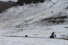
| Best time to cycle | May to September |
| When we cycled | Mid October 2013 |
| Difficulty | 3 (if there’s no mud) |
| How much we had to push on this route | Only when it was muddy, otherwise none. |
Error thrown
Call to undefined function ereg_replace()