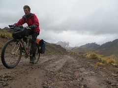
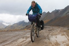
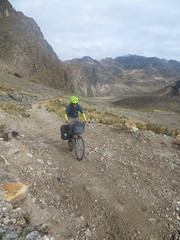
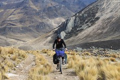
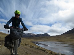
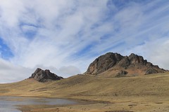
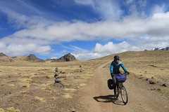
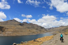
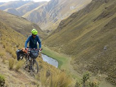
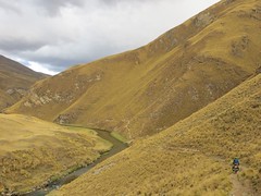
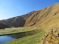
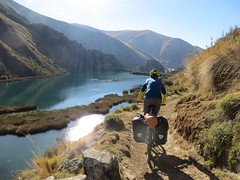
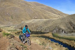
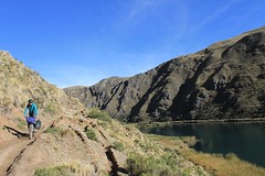
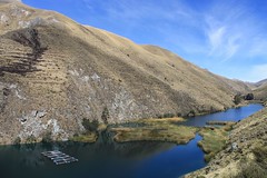
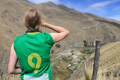
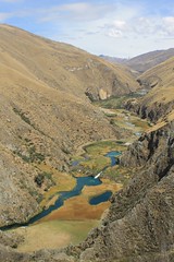
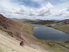
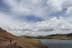
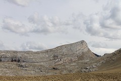
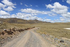
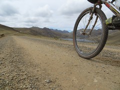
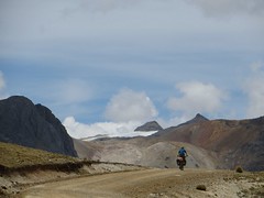
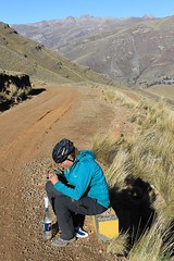
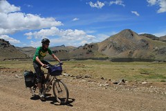
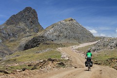
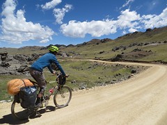
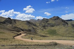
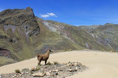
This is a scenically spectacular, but tough, route through the mountains in central Peru. Leaving the hectic traffic on the Carretera Central, the route sticks to extremely quiet roads all the way to the charming departmental capital of Huancavelica. As with most mountain routes in Peru, water is not a problem to find, and there are villages every now and then, so you don’t need to carry too many supplies.


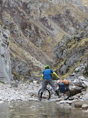


There’s a 7km section between Tanta and Vilca that is on singletrack, not a motorable road, and plenty of this section is unrideable – so if you don’t like the idea of pushing/ferrying your stuff on this part, find an alternative route.
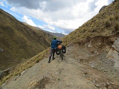
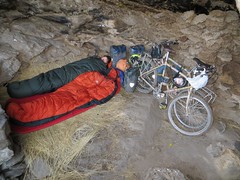
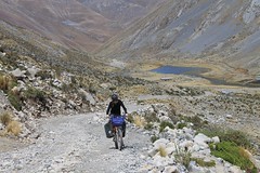
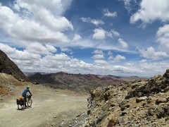
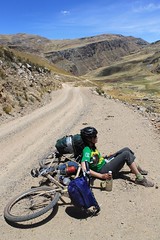
As with all routes in the Peruvian Andes, we can’t stress highly enough how important it is to go light – there are many steep high passes to cross and many thousands of metres to climb. Here is a list of kit we took – around 15kg each.
Check out our blog post on our Pikes on Bikes site for this route, and here are some of Cass’ photos of the ride.
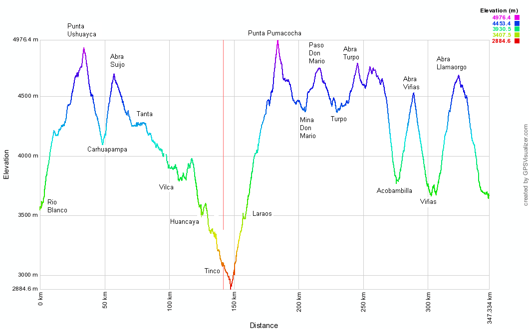
| Total Km | Altitude (m) | Description |
|---|---|---|
| 0 | 3700 | Chicla, village on the Carretera Central. Shops, accommodation above town on main road, restaurants. Horribly busy road. Go downhill. |
| 4.5 | 3550 | Turn off Carretera Central to Yuracmayo in Rio Blanco, just after 2 short tunnels. |
| 6.1 | 3580 | Caruya. Small village with 2 fish farms. |
| 11.2 | 3940 | Chocna. Village with basic shop. |
| 18.7 | 4200 | Straight. |
| 24.6 | 4300 | Yuracmayo. Village. Saw no facilities. |
| 32.2 | 4670 | L. |
| 39.3 | 4930 | Punta Ushuayca. |
| 53.7 | 4130 | L to Tanta (straight goes to Carhuapampa). |
| 62.5 | 4700 | Abra Suijo. |
| 67.7 | 4530 | Huachipampa. Small settlement, no facilities. |
| 79.7 | 4270 | Tanta. Shops, possible accommodation, restaurants. |
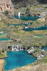
| 90.4 | 4210 | Baño del Inca aguas termales (ruin?). |
| 95 | 4100 | Go R at 1st hairpin, signed ‘Vilca 14km’. In 2013 the road was only half complete, so there is plenty of pushing and lots of rideable singletrack. If you don’t want to take this unmotorable shortcut, it’s a ~50km detour over 2 high passes, (via Cochas) to Vilca. |
| 102.7 | 4000 | Road ends. We were able to ride about 5km of the 7.2km singletrack to come. |
| 109.9 | 3910 | Hit track at far end of Laguna Papacocha. Go through gate. |
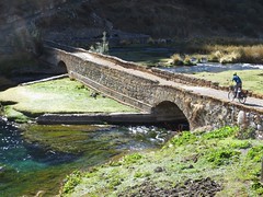
| 111.3 | 3820 | Vilca. Shops, restaurants, probable accommodation. Impressive colonial bridge – Puente Centenario. |
| 113.5 | 3830 | R. (The long road route over the 2 high passes rejoins from the L.) |
| 117 | 3820 | R. L goes to Canchayllo, Pachacayo. |
| 121.5 | 4000 | High point. Pass Laguna Huallhua. |
| 128.6 | 3710 | Huancaya. Touristy village. Accommodation, restaurants, shops. |
| 131.7 | 3620 | Vitis. Accommodation, shops, restaurants. |
| 144.7 | 3090 | Tinco, small settlement. Paving strarts. Shops, restaurants. Go R for Laraos. |
| 151 | 2930 | Turn off L to Laraos, just after Llapay (shops, accommodation, restaurants). Still paved. |
| 159.9 | 3460 | Laraos. Shops, internet, accommodation, restaurants. End of paving. |
| 166.1 | 3830 | R, to Lag Pumacocha. |
| 175.5 | 4300 | L to Lag Pumacocha, UEA Don Mario (R goes to Heraldos Negros). |
| 177.6 | 4370 | Straight/R. L goes to Tomas (via mine) and Pinturas Rupestres Quillcasca. |
| 178.2 | 4430 | Straight. |
| 179.7 | 4500 | L. Short descent. |
| 180.5 | 4440 | Low point. |
| 182.8 | 4560 | Last water. |
| 186.9 | 4990 | Punta Pumacocha. |
| 198.9 | 4490 | Small estancia. |
| 208.9 | 4390 | Abandoned Don Mario mine entrance. Pass through broken barrier. |
| 209 | 4410 | R. |
| 209.2 | 4430 | Exit mine at barrier. |
| 209.5 | 4450 | L. |
| 215 | 4630 | L. R is to Langayco. |
| 219.5 | 4760 | Paso Don Mario. |
| 223.2 | 4640 | Turn R on ‘main rd’, signed Heraldos Negros, Acobambilla, Bethania, San Valentin. |
| 240 | 4480 | L (in the few houses of Turpo). Signed Acobambilla. R goes to Corihuarmi. |
| 248.7 | 4800 | Abra Turpo. Lots of high points and small climbs afterwards. |
| 269.3 | 4600 | R. |
| 278.7 | 3830 | Acobambilla. Large village with shops, restaurants. |
| 291.7 | 4550 | Abra Viñas. |
| 293.6 | 4420 | R. |
| 302.8 | 3790 | R, in Viñas. |
| 303.3 | 3790 | Viñas Plaza de Armas. Shops. |
| 306.7 | 3720 | Jerusalen. Village with accommodation, shops. |
| 309.5 | 3710 | L. R to Anccapa. |
| 314 | 3950 | L in San Miguel (small village). |
| 320.6 | 4390 | Uqcurumi. A few houses, no facilities. |
| 327.4 | 4700 | Abra Llamaorgo. |
| 343.5 | 3810 | L to Huancavelica. Go R for direct route to Abra Chonta. |
| 351.2 | 3700 | Huancavelica, Plaza de Armas. |
| Details | |
| Distance (of which paved) | 351km (20km) |
| Time taken | 6 days |
| Amount climbed | 8700m |
| Traffic | Virtually none, except for the busy 5km on the Carretera Central. |
| Best time to cycle | May – September |
| When we cycled | Mid October 2013 |
| Difficulty | 4/5 |
| How much we had to push on this route | 2.5km (on the singletrack section to Vilca) |
Error thrown
Call to undefined function ereg_replace()